Blog 1
Amidst this wonderful world – you know, the one where we simultaneously experience unprecedented technological innovation coupled with societal disorientation due to a neglect of historical facts – I believe what is greatly needed is an exemplary way to harmonize the tools at hand with a problem that ails us…and, that is [essentially] what I have set out to do! Namely, I have just embarked on a semester-long quest to recreate the historic landscape of Blow-Me-Down Farm (or “BMDF” - located here in Cornish, NH) by the means of leveraging computer-aided drafting (CAD) and visualization softwares to elucidate its history and discover the treasures of its previous forms and functions. By availing oneself of the contemporary tools for design and 3D sculpting (Adobe CC, AutoCAD, SketchUp, Rhino, Lumion, etc.), I suppose that we can draw out novel insights of any place simply by reading the landscape through this pedagogical method of digital modeling and representation.
However, let’s zoom out and begin with some context pertaining to the project site. Before diving any further into what I will be doing, you ought to become acquainted with the legacy of two important characters (along with their very talented and well-connected family and friends) by the names of Augustus Saint-Gaudens and Charles C. Beaman. Their relationships to the park landscape in Cornish are those of a sculptor and a gentleman, which can indeed be proven to have complimented and influenced one another. A piece of their properties is hereafter in focus, and it is the gentlemen’s farm situated along the beautiful riparian plateau which defines the Connecticut River Valley – even though Connecticut is nowhere to be found, as the site is smack-dab in the middle of New Hampshire and Vermont.
Charles C. Beaman (left) discusses plans for the expansion of the BMD Cottage
I will hasten to make the connection between Beaman, Saint-Gaudens, and the estate lands that spanned from the river eastward, nearly to the peak of Dingleton Hill. A neighborly dynamic of upland/lowland lots contributed to the sense of continuity across the Blow-Me-Down Pond – an adjacent natural feature which still serves to separate Saint-Gaudens’s Aspet from Beaman’s Blow-Me-Down Farm, today. Many parties and adventures were recorded to have taken place in this interstitial space, but the sites of those memories have become all but shrouded to our perception due to overgrown forests and imposing state highways (sorry, NH-Rt12A). The holistic view of Beaman’s estate (from which Saint-Gaudens acquired Aspet) was that of both pleasure and productivity – pleasure in its entertaining space to host family weddings, evenings on the vine-laden piazza overlooking the river and Vermont’s Mt. Ascutney, and leisurely R&R in the BMDF Cottage; along with economic productivity, the Cornish Art Colony, and working farm plots which annually yielded considerable crop from the arable fluvial soils courtesy of the Connecticut River.
Lawn tennis court and mound gardens to the west of the BMD Cottage. The Casino is shown to the right, with its views to the distant Vermont mountainside.
A more thorough understanding of the site can be gleaned from NPS documentation and reports, but for time being, onto the task awaiting me…
The purpose of this first post is two-fold: 1) to introduce you to the Blow-Me-Down Farm, as well as 2) to lay out the coming framework of my independent study and its thematic areas of interest. For the latter, here is a brief synopsis of my future posts in hopes of whetting your appetite:
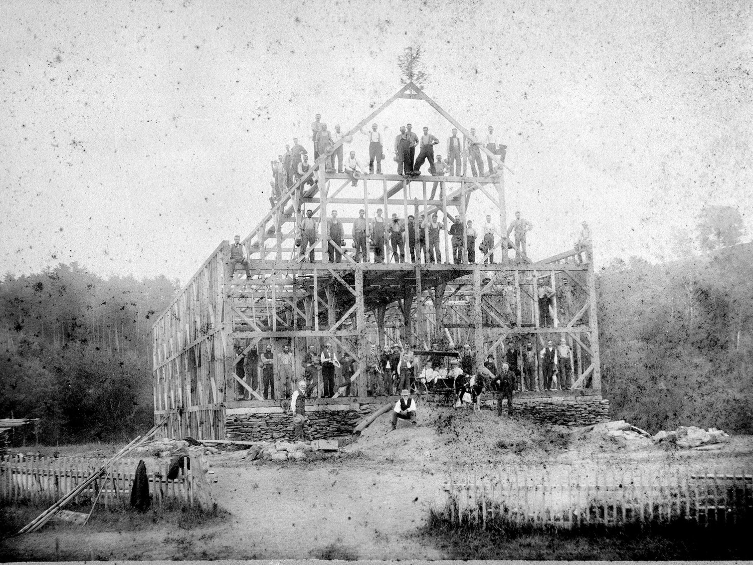
· Preparation: Raising the Barn and Working the Ground
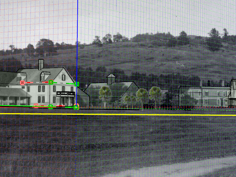
· Perspective: Photo matching tools and Model-informed discussions
· Interpretation: Translating BMDF journal/text entries into spatial realities
· Inscription: 3D Labels & other aesthetic conventions
· Insight: Recreating undocumented views
· Illumination/Deception: Moving from unknown to known and vice versa
Each post will highlight a principle of life/practice that I find important, an aspect of process that was explored, and some form of product or intermediate/final deliverable. In an effort to start things off before wrapping up, here is a taste of the nature of each post.
“Preparation: Working the Ground and Raising the Barn
As you might have inferred, much of the necessary protocol to model a landscape is modeled from the creation of the landscape itself. The ground must be shaped and made workable, and the residences and farm buildings to service it must be erected - In the digital realm of site design and 3D visualization, I did likewise. Starting from a basemap of aerial imagery, historic period plans drawn with linework from Adobe Illustrator and AutoCAD, and a trusty SketchUp model to work in, I quickly massed out the location and character of the site's architectural features. From there, the topographic surface was made by extracting contour data in ArcMap, followed by creating a terrain mesh via…”
More to come with that soon!
As for now, I thank you for reading this far and truly hope that you will continue to follow/support this ambitious quest – to exposit place and redeem the imbued meaning to its history.
Thanks for reading!
Connor


